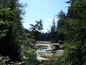
The lake itself is gorgeous:

After our little break, we continued on. The clouds were moving in, but the rain held off for a while. The Kennedy River runs alongside Highway 4:
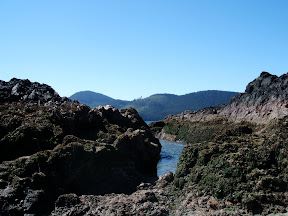
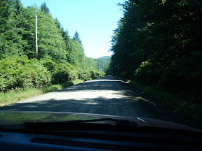
 At a couple of points the highway is very narrow and windy, with a sheer rock face on one side and water (Kennedy Lake) on the other. Even in the rain it was an impressive sight.
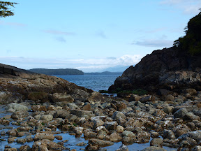
We arrived in Tofino in rain and after a brief wander, cocooned in our little camper. It was very cozy and we slept as rain pattered on our roof, but by the next morning the clouds had parted enough for us to take a walk on the beach:
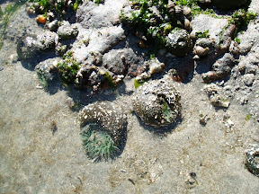
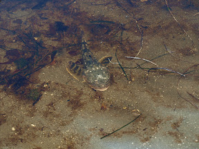
The tide was out, so we were able to explore the tidal pools. In one we saw a sculpin, commongly called a "bullhead":
On the beach we found a starfish lying on the sand, waiting for the tide to come back in:

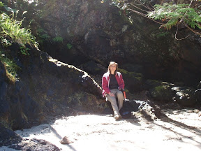
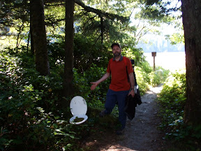
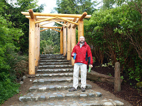
Here is Sean, posing on the beach stairs to the campground:
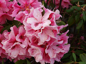
One of the fantastic things about this campground is the gorgous flower beds. Here is one of the rhodos in bloom:
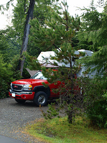
The sites themselves are really nice and private:
Sean built a small campfire to keep us warm as we prepared for the day:
 Alongside the highway for about 8 km south of Tofino is a shared pedestrian/bike path. We first decided to explore the Wickaninnish Inn, where we planned to have dinner that evening - here's what it looks like from Chesterman Beach:
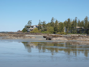
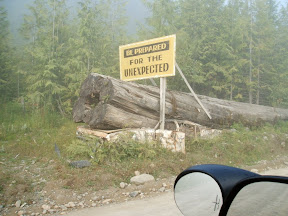
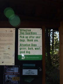
We thought this sign was very funny:
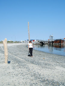
 After going south as far as the Visitor Centre, we turned around and cycled back into Tofino itself and wandered around the small seaside town before heading to Breakers Cafe for lunch:
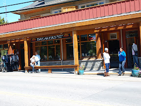
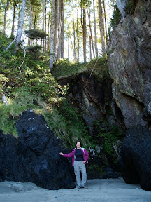
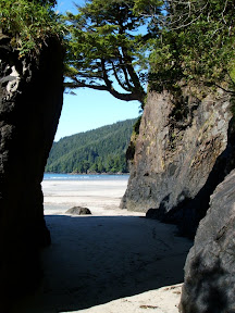
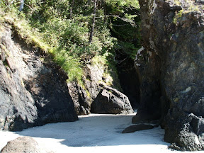
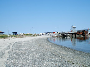
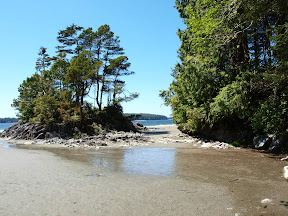
We explored a couple of little bookstores (yeah, what a surprise) then rode over to Tonquin Park and walked down to the beach there:
It was hard to tear ourselves away, but at last we did, and followed the path back to Crystal Cove Campground. Just across the highway is a cool little retail complex called Outside Break, with some very funky stores and services, including:
Wildside Grill

Beaches Grocery
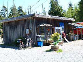 and Chocolate Tofino (my favourite sign)
 Once back at our little site, we cleaned up and went for another wander down to the beach then back through the campground. As well as RV sites, they have cabins for rent:
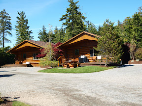 and a lovely water feature:
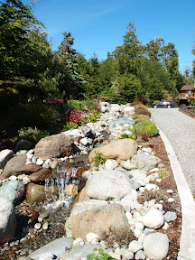 By 5:45 we were ready for our dinner at the Wickaninnish Inn. We left enough time to walk there and see the beach again before settling in to eat. The restaurant decor is very simple, allowing the view to speak for itself:
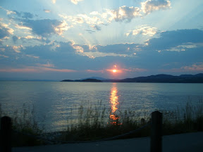
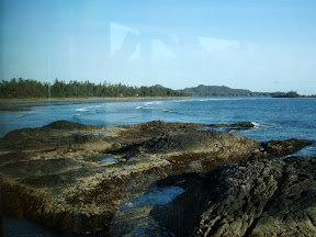 Our dinner was superb and by 9:30 we were ready to walk "home", via the beach, over which the sun was setting:
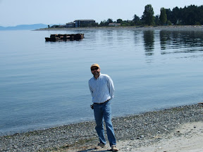
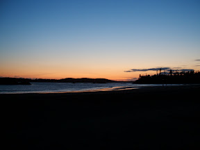 The next day we went first to south Chesterman Beach and then to Cox Bay. At both places, Sean scanned for any sight of whales:
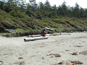
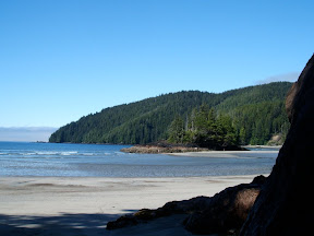
 Cox Bay seems to be the surfers' second choice after Long Beach. They were busy that day:
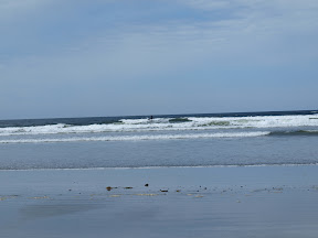 We'd hoped to be able to ride all the way into Pacific Rim Park, but the highway is too narrow. We were thrilled to find that the far end of Cox Bay is inside the park, so we made it after all:
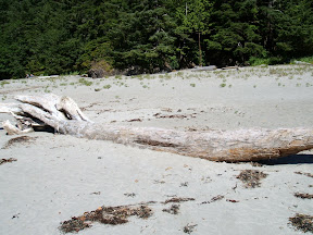
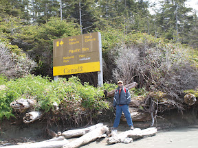 I found a cool flower growing on a piece of driftwood:
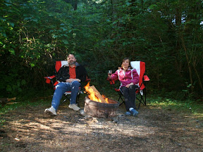
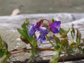 Wednesday evening campfire shot:
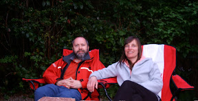
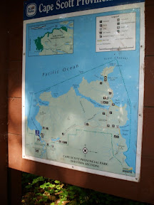
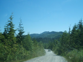
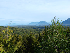
On Thursday morning we left the campground bright and early, wanting to fit as much in on our return trip while also getting to Nanaimo in time for our 5pm ferry. First up was a stop to see the view from Radar hill, where a radar station was set up during the cold war:
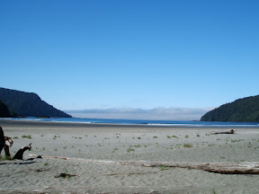
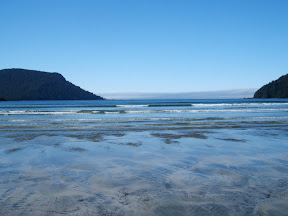
 Next was Long Beach. We had it all to ourselves - it was so peaceful and just a glorious sight:
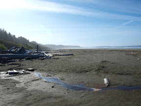 Wave patterns on Long Beach
 An empty parking lot at Long Beach at this time of year is likely quite rare - our truck/camper was the only vehicle there:
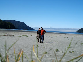
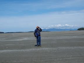
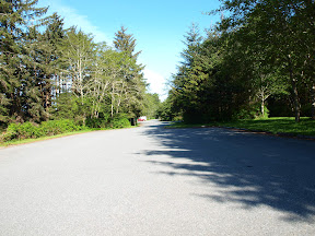 Sean looking for whales at Long Beach:
 Yes, this has been a running theme of our trip and at last, Sean's patience with the binoculars paid off - first he saw a couple of whales, then he handed me the binoculars to me and I saw some too :)
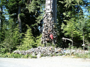
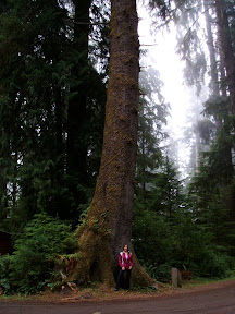
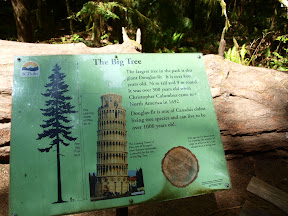
Outside Port Alberni we stopped at Cathedral Grove, a stand of very old trees, including one that is estimated to be 800 years old:
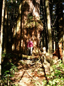
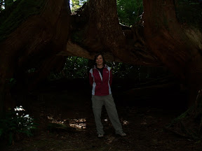
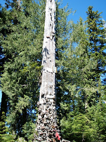
 Sean took a picture of me with the big tree:
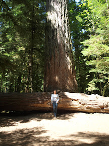 Here is a shot of the cathedral effect:
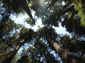 On our way to Tofino, we'd passed through Coombs where I suddenly noticed goats on a roof! I'm not kidding you. Sean had been saving that as a surprise and promised we'd stop on the way back. So we did - here's a pic of the Mama and kid:
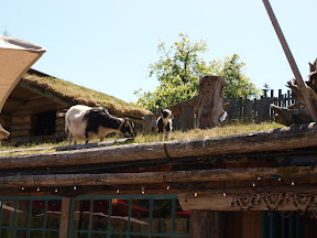 And here is Sean's action shot of leaping kid:
 After lunch, ice cream, a stop at a pottery shop and many pics of the goats, we left Coombs and continued on to the provincial park at Englishman River Falls. There we did the short loop to see the falls. We started at the upper falls:
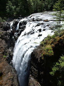 Sean at the Falls
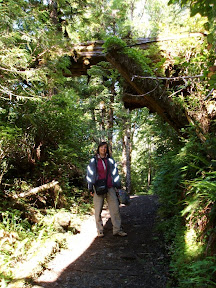
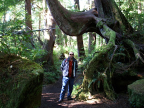
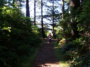
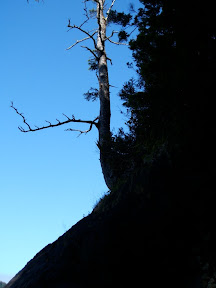
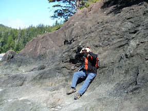
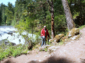 then wound our way through the forest path where Sean had fun with a leaning tree
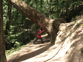 At last we reached the lower falls:
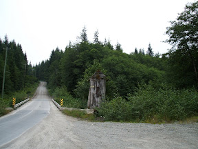
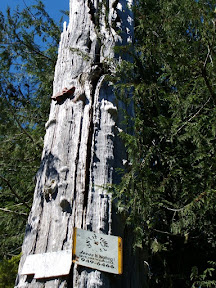
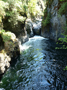 Just beyond the bridge over the falls we saw this cool gnarly moss-covered tree:
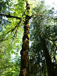 From there we went back to the truck and started on our last leg, into Nanaimo. Despite the ferry leaving 10 minutes late, we still made our connection with the 7:25 ferry to Langdale and arrived home just after 8:30 to a joyous reception from the cats :) We had a fantastic time and hope to get back over there again some time.
There are more pics than this - if you're interested, just email me and I'll send you the link for the whole album.
Teresa